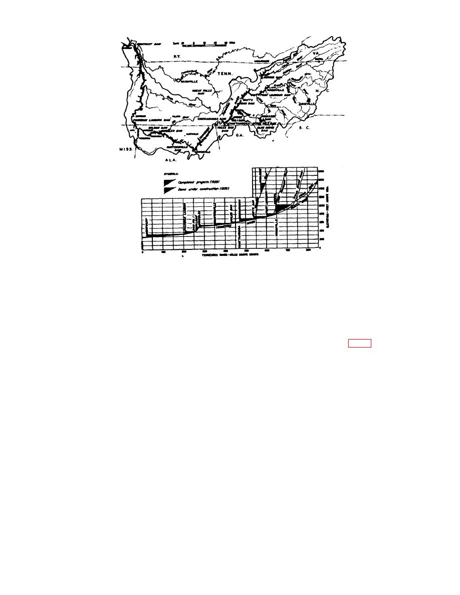
Figure 9. Map and profile of Tennessee River system.
20. Hydroelectric Plan. Pickwick Landing Project.
Item No.
Requirement
Complication
1
Name of hydroelectric plant.
Pickwick Landing Project.
2
Country or countries, state or province, and so on,
US Tenn.
in which the major item is located.
3
Main river basin in which the subject is located.
Ohio-Mississipp i.
4
Stream on which plant is located.
Tennessee River.
5
Name of dam or reservoir connected with plant.
Pickwick Landing Dam (fig 11 and 12).
6
If plant is one of a group of plants or power give
Tennessee Valley Authority (TVA).
the name of the group.
7
Distance and direction from a city or some other
100 air miles east of Memphis, Tenn; 23.5
definite geographic reference point.
miles by highway from Southern Railway
and Mobile & Ohio RR, at Corinth, Miss;
35 miles by highway from Mobile & Ohio
RR, at Selmer, Tenn; 20 miles by highway
from Southern Railway at luka, Miss.
8
Distance from plant to river month or some other
206.7 mi.
stream reference point.
9
Latitude and longitude of the major item.
364'N, 8815'W.
10
Coordinates of any local grid-coordinate system.
NI.
11
Date plant was completed.
Unit 1: 18 Aug. 1938; Unit 2: 29 June 1938;
Unit 3: 12 Aug. 1942; Unit 4: 12 June
1942.
12
Present number and capacity of generating unit
4 units, 144,000 kw capacity (ft. 22 ).
13
Ultimate number and capacity of generating units.
6 units, 216,000 kw capacity.
14
Total discharge at maximum, normal, and minimum
12,000 cu ft/sec (each unit) at normal pool,
operating pools.
Maximum and minimum operating pools
NI.
AGO 3898A
22

